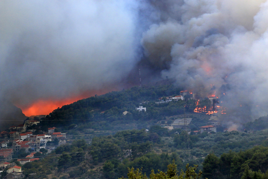
We saw west coast units mount record breaking full-scale wildfire responses this past fall. We saw areas from suburban towns through those characterized as mountainous terrain that are heavily covered in brush and set near National Forests completely engulfed.
Pre-Incident planning is always an operational priority for most departments and with the risk of wildfires it only helps place that higher on the list. By putting together topographical maps, water supplies, occupancies and known man made hazards, incident commanders can prepare, train and respond with their staffs to help mitigate emergencies. Incorporating these plans with known vegetation management projects can also assist with search and rescue missions.
The scope of these fires made us see traditional and non-traditional departments responding from across state lines to assist. Do you have pre-attack plans and are you able to share them with responders that are coming from afar? They will certainly not have building or area familiarization and may not even have the same technology and ability to interface with you. Are you using NFPA symbology and terms in your planning or local terms the may be confusing or unknown outside your first due?
How are you protecting your people and the mutual aid companies coming in to help save your bacon? Electronic pre-incident planning software solutions like NFPA 1620 compliant Blazemark can enable you to easily add all pre-plan work already done and share it with unlimited users and unlimited mutual aid departments at anytime. The beauty of it being cloud-based is that there is no software to download or hardware requirements, any internet capable device can view real time preplan information. Units can give and receive information at the click of a finger for situational updates. If crews are going to operate in areas where internet service could become interrupted all plans can be worked with offline. Users can be given access at anytime and even removed after a situation resolves. Also don’t think about preplanning as only being about structures. Software like Blazemark can also document critical information for land masses that have ports, special events, rail and pipelines as well as turnpike or highway infrastructure.